


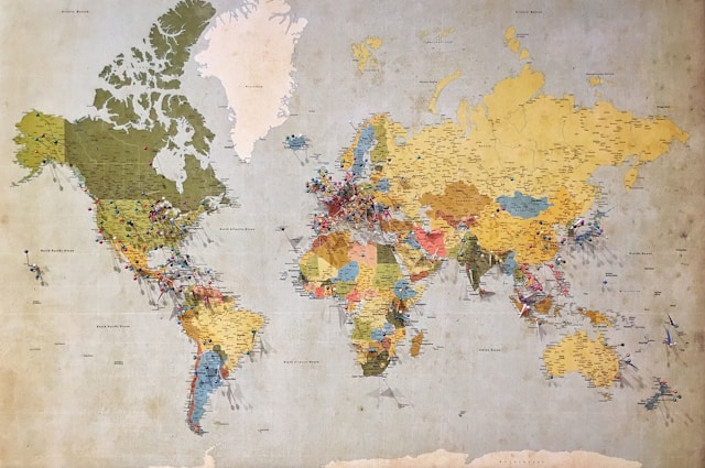
Google is expanding access to its Earth AI platform and adding Gemini-powered “Geospatial Reasoning” that fuses weather, population and satellite data to answer complex risk questions. New image-analysis features in Google Earth will let U.S. professional users detect objects and patterns—such as dried riverbeds or harmful algal blooms—while select Google Cloud customers can test Earth AI’s imagery, population and environment models. Early pilots span public health and infrastructure, including WHO’s Africa office for cholera risk prediction, Planet and Airbus for vegetation and deforestation monitoring, and Alphabet’s Bellwether with McGill & Partners for faster hurricane insurance claims. The moves underscore Google’s push to cement leadership in geospatial AI while courting enterprise demand for climate and crisis-response tools.
Related article:


